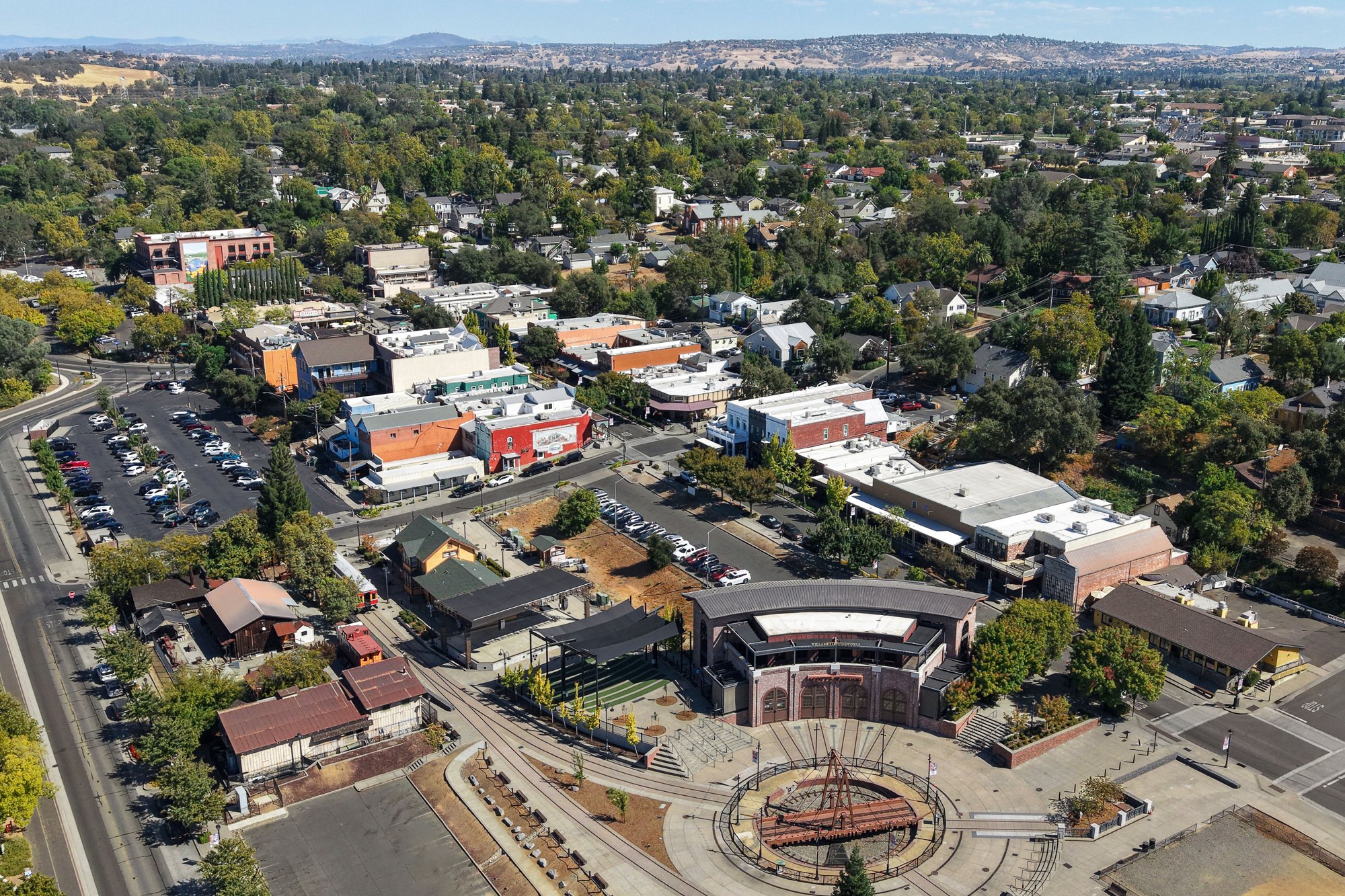
Folsom’s historic district and railroad turntable

Outdoors

Swimming holes and lakes near Folsom

Lakes, rivers and beaches near Folsom where swimming is allowed on public land.

14places to swim
34 mito the closest
May–Octoberbest months

Good to know: Most natural swimming areas have no lifeguard; check water-quality advisories and current conditions before swimming.

Closest picks

1

Black Oak

34 mi northeast · USDA Forest Service

Black Oak Campground is group camping destination near Stumpy Meadows Lake on the Eldorado National Forest. The forest boasts over 400 miles of hiking trails and an abundance of lakes and rivers for fishing and swimming.

2

Bridal Veil Group Area And Picnic Ground

36 mi east · USDA Forest Service

Bridal Veil Group Campsite and Picnic Area is located on the South Fork of the American River. It offers picnicking sites, a group overnight area, beautiful swimming holes, and close access to fishing.

3

Forbes Creek

37 mi northeast · USDA Forest Service

Forbes Creek Group Campground is located near the southeast shore of Sugar Pine Reservoir in the Tahoe National Forest. Visitors enjoy the area for its fishing, canoeing and hiking opportunities.

Map of all 14 places

Map of 14 places loads as you scroll.

30 to 75 miles (14)

34 mi northeast · USDA Forest Service · Campground

Black Oak

Black Oak Campground is group camping destination near Stumpy Meadows Lake on the Eldorado National Forest. The forest boasts over 400 miles of hiking trails and an abundance of lakes and rivers for fishing and swimming.

  • Boating
  • Camping
  • Canoeing
  • Fishing
  • Hiking
  • Kayaking
  • Swimming

36 mi east · USDA Forest Service · Campground

Bridal Veil Group Area And Picnic Ground

Bridal Veil Group Campsite and Picnic Area is located on the South Fork of the American River. It offers picnicking sites, a group overnight area, beautiful swimming holes, and close access to fishing.

  • Camping
  • Fishing
  • Swimming

37 mi northeast · USDA Forest Service · Campground

Forbes Creek

Forbes Creek Group Campground is located near the southeast shore of Sugar Pine Reservoir in the Tahoe National Forest. Visitors enjoy the area for its fishing, canoeing and hiking opportunities.

  • Biking
  • Boating
  • Camping
  • Fishing
  • Hiking
  • Swimming

38 mi northeast · USDA Forest Service · Campground

Giant Gap

Giant Gap Campground is located on the north shore of Sugar Pine Reservoir, in the Tahoe National Forest. It is just 15 miles from Foresthill. Visitors enjoy the surrounding area for its fishing, canoeing, OHV and hiking opportunities.

  • Biking
  • Boating
  • Camping
  • Fishing
  • Hiking
  • Swimming

38 mi southeast · US Army Corps of Engineers · Campground

Oak Knoll Campground

Oak Knoll Campground sits along New Hogan Lake in the brush-covered foothills of the Sierra Nevada Mountains. Recreation Boating is a popular pastime, with boat ramps conveniently located around the lake.

  • Boating
  • Camping
  • Fishing
  • Hiking
  • Hunting
  • Swimming

38 mi northeast · USDA Forest Service · Campground

Shirttail Creek

Shirttail Campground is located on the north shore of Sugar Pine Reservoir, in the Tahoe National Forest, 15 miles from Foresthill. Visitors enjoy the area for its fishing, boating, OHV, and hiking opportunities.

  • Boating
  • Camping
  • Fishing
  • Hiking
  • Mountain Biking
  • Non-Motorized Boating
  • Swimming
  • Water Access

39 mi southeast · US Army Corps of Engineers · Campground

Acorn Campground

Acorn Campground is a sunny campground in the brush-covered hills of the Sierra Nevada Mountains. The area is generally characterized by a warm, dry climate with summer temperatures regularly soaring above 90 degrees.

  • Boating
  • Camping
  • Fishing
  • Hiking
  • Hunting
  • Swimming

39 mi east · USDA Forest Service · Campground

Pipi Campground

Pipi Campground (pronounced "pie pie") offers RV and tent camping along the Middle Fork of the Cosumnes River, offering great fishing and swimming opportunities.

  • Camping
  • Fishing
  • Swimming

40 mi north · US Army Corps of Engineers · Campground

Englebright Lake Boat-In Campground

Englebright Lake is nestled in the steep Yuba River canyon, of the Sierra Nevada foothills.

  • Birding
  • Boating
  • Camping
  • Canoeing
  • Fishing
  • Hunting
  • Jet Skiing
  • Kayaking

40 mi southeast · US Army Corps of Engineers · Campground

Observation Point Picnic Shelter (Ca)

New Hogan Dam and Lake is located in the oak- and brush-covered foothills of the Sierra Nevada Mountains. The 4,400 acre lake was created in 1964 with the completion of New Hogan Dam.

  • Biking
  • Camping
  • Fishing
  • Swimming

40 mi east · USDA Forest Service · Campground

West Point Campground

West Point Campground is located on the northwest shore of Union Valley reservoir off of North Union Valley Road. There are 22 sites ranging from sinlge to triple in capacity. There is a boat ramp with access to the reservior.

  • Biking
  • Boating
  • Camping
  • Fishing
  • Hiking
  • Kayaking
  • Paddle Boating
  • Picnicking

47 mi north · Bureau of Land Management

South Yuba Recreation Area

Remember your OUTDOOR ETHICS when enjoying your public lands. Please RECREATE RESPONSIBLY. Overview The South Yuba Recreation Area and National Trail is located approximately 10 miles northeast of Nevada City, California.

  • Accessible Swimming
  • Camping
  • Fishing
  • Hiking
  • History
  • Horseback riding
  • Mountain Biking
  • Photography

61 mi northeast · USDA Forest Service

Tahoe National Forest

  • Biking
  • Boating
  • Fishing
  • Hiking
  • Horse Camping
  • Horseback riding
  • Hunting
  • Off-highway vehicles

63 mi southeast · USDA Forest Service

Stanislaus National Forest

  • Boating
  • Camping
  • Fishing
  • Hiking
  • Off-highway vehicles
  • Picnicking
  • Ranger programs
  • Recreational Vehicles

Distances are straight-line miles from downtown Folsom. Listings come from Recreation.gov’s federal recreation database; check each official page for hours, fees, fire restrictions and closures before you go.

Get outside around Folsom

[4K] Folsom, California Historic District Walking Tour video thumbnail

A WALK AROUND TOWN

[4K] Folsom, California Historic District Walking Tour

A recorded walk through Folsom’s historic district, passing the plaza, downtown buildings and the Lake Natoma edge. Shared by Where The Road Takes Us.

Watch on YouTube ↗
Folsom Lake, CA | Walking Tour (No Commentary) | 4K HDR video thumbnail

A WALK AROUND TOWN

Folsom Lake, CA | Walking Tour (No Commentary) | 4K HDR

A quiet recorded walk along trails and shoreline around Folsom Lake, shared by Motion Atlas. This is a regional lake outing; the exact access point is not presented as inside Folsom city limits.

Watch on YouTube ↗

More outdoors near Folsom

Questions

Where is the closest place for swimming near Folsom?

Black Oak (USDA Forest Service), about 34 miles northeast of Folsom as the crow flies. Next are Bridal Veil Group Area And Picnic Ground (36 mi) and Forbes Creek (37 mi).

When is the best time for swimming near Folsom?

Based on Folsom’s average highs, May–October. Conditions at higher elevations can be much cooler.

Who manages these places?

Federal agencies including USDA Forest Service, US Army Corps of Engineers, Bureau of Land Management. Each listing links to its official page for hours, fees, closures and current conditions.

Folsom AI

Your Folsom local guide
Hey there!

I'm Folsom AI. Ask about neighborhood food, independent shops, local history or planning a visit.

AI recommendations may be inaccurate. Verify hours and prices. Questions are processed by Cloudflare. Privacy