Folsom Lake
3 mi northwest · Bureau of Reclamation
Recreation at Folsom Reservoir is managed by the California Department of Parks and Recreation under agreement with the Bureau of Reclamation, Central California Area Office.
Outdoors
Lakes, reservoirs and rivers near Folsom for boating, kayaking, canoeing and paddleboarding.
Good to know: Life jackets are required for children on most waters, and many lakes require an invasive-species inspection or a launch fee.
3 mi northwest · Bureau of Reclamation
Recreation at Folsom Reservoir is managed by the California Department of Parks and Recreation under agreement with the Bureau of Reclamation, Central California Area Office.
5 mi southwest · Bureau of Reclamation
Recreation at Lake Natoma is managed by the California Department of Parks and Recreation under agreement with the Bureau of Reclamation. The Lake was created by Nimbus Dam across the American River.
14 mi northeast · Bureau of Land Management
The BLM, Mother Lode Field Office administers river recreation on the North and South Forks of the American River. VISIT North Fork American River VISIT South Fork American River Return To: BLM, Mother Lode Field Office
Map of 26 places loads as you scroll.
Recreation at Folsom Reservoir is managed by the California Department of Parks and Recreation under agreement with the Bureau of Reclamation, Central California Area Office.
Recreation at Lake Natoma is managed by the California Department of Parks and Recreation under agreement with the Bureau of Reclamation. The Lake was created by Nimbus Dam across the American River.
The BLM, Mother Lode Field Office administers river recreation on the North and South Forks of the American River. VISIT North Fork American River VISIT South Fork American River Return To: BLM, Mother Lode Field Office
The Sly Guard Cabin is less remote than other cabins on the Eldorado National forest and is a great choice for families with children. Sly Guard provides the cabin in the woods experience with the convenience of modern amenities.
Recreation at Sly Park Reservoir is managed by the El Dorado Irrigation District under an agreement with the Bureau of Reclamation's Central CA Area Office. The reservoir was created by Sly Park Dam across Sly Park Creek.
Remember your OUTDOOR ETHICS when enjoying your public lands. Please RECREATE RESPONSIBLY. Explore, learn, and experience the Cosumnes River Preserve with opportunities for guided walks, paddling, hiking, and nature viewing.
Black Oak Campground is group camping destination near Stumpy Meadows Lake on the Eldorado National Forest. The forest boasts over 400 miles of hiking trails and an abundance of lakes and rivers for fishing and swimming.
Stumpy Meadows, on the Stumpy Meadows Reservoir, provides an enjoyable setting in a heavy conifer forest with easy access to an array of water activities.
Forbes Creek Group Campground is located near the southeast shore of Sugar Pine Reservoir in the Tahoe National Forest. Visitors enjoy the area for its fishing, canoeing and hiking opportunities.
Recreation at Sugar Pine Reservoir is managed by Tahoe National Forest under an agreement with the Bureau of Reclamation. Sugar Pine Reservoir was created by Sugar Pine Dam across Shirttail Creek.
Giant Gap Campground is located on the north shore of Sugar Pine Reservoir, in the Tahoe National Forest. It is just 15 miles from Foresthill. Visitors enjoy the surrounding area for its fishing, canoeing, OHV and hiking opportunities.
Oak Knoll Campground sits along New Hogan Lake in the brush-covered foothills of the Sierra Nevada Mountains. Recreation Boating is a popular pastime, with boat ramps conveniently located around the lake.
Shirttail Campground is located on the north shore of Sugar Pine Reservoir, in the Tahoe National Forest, 15 miles from Foresthill. Visitors enjoy the area for its fishing, boating, OHV, and hiking opportunities.
Acorn Campground is a sunny campground in the brush-covered hills of the Sierra Nevada Mountains. The area is generally characterized by a warm, dry climate with summer temperatures regularly soaring above 90 degrees.
Englebright Lake is nestled in the steep Yuba River canyon, of the Sierra Nevada foothills.
Englebright Lake is nestled in the steep Yuba River canyon, of the Sierra Nevada foothills.
Less than an hour east of Stockton near the historic gold rush towns of the California Mother Lode. This scenic setting in the Sierra Nevada foothills boasts exciting fishing, waterskiing, and hiking.
Remember your OUTDOOR ETHICS when enjoying your public lands. Please RECREATE RESPONSIBLY .
West Point Campground is located on the northwest shore of Union Valley reservoir off of North Union Valley Road. There are 22 sites ranging from sinlge to triple in capacity. There is a boat ramp with access to the reservior.
Lake Solano Park, Solano Project , is located at the base of coastal foothills at the western edge of the Sacramento Valley and offers an array of recreational opportunities.
Nestled between Blue Ridge and Cedar Roughs, east of the Napa Valley, Lake Berryessa offers year-round recreation opportunities.
New Melones Dam and Reservoir are part of the Central Valley Project - New Melones Unit operated by the Bureau of Reclamation. Located 60 miles upstream on the Stanislaus River from the confluence of the San Joaquin River.
The San Francisco Bay National Estuarine Research Reserve comprises two components located along the salinity gradient of the San Francisco Bay.
Contra Loma Dam and reservoir are part of the Central Valley Project - Delta Division and offers recreational opportunities for the East Bay area near San Francisco.
Distances are straight-line miles from downtown Folsom. Listings come from Recreation.gov’s federal recreation database; check each official page for hours, fees, fire restrictions and closures before you go.

A WALK AROUND TOWN
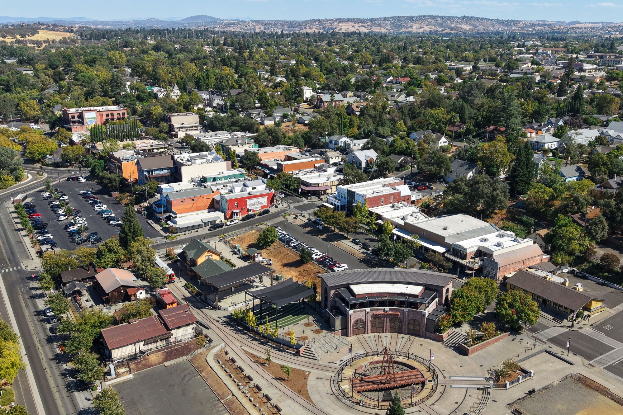
A recorded walk through Folsom’s historic district, passing the plaza, downtown buildings and the Lake Natoma edge. Shared by Where The Road Takes Us.
Watch on YouTube ↗
A WALK AROUND TOWN
A quiet recorded walk along trails and shoreline around Folsom Lake, shared by Motion Atlas. This is a regional lake outing; the exact access point is not presented as inside Folsom city limits.
Watch on YouTube ↗Folsom Lake (Bureau of Reclamation), about 3 miles northwest of Folsom as the crow flies. Next are Lake Natoma (5 mi) and American River North Middle South Forks (14 mi).
Based on Folsom’s average highs, March–November. Conditions at higher elevations can be much cooler.
Federal agencies including USDA Forest Service, Bureau of Reclamation, US Army Corps of Engineers. Each listing links to its official page for hours, fees, closures and current conditions.